
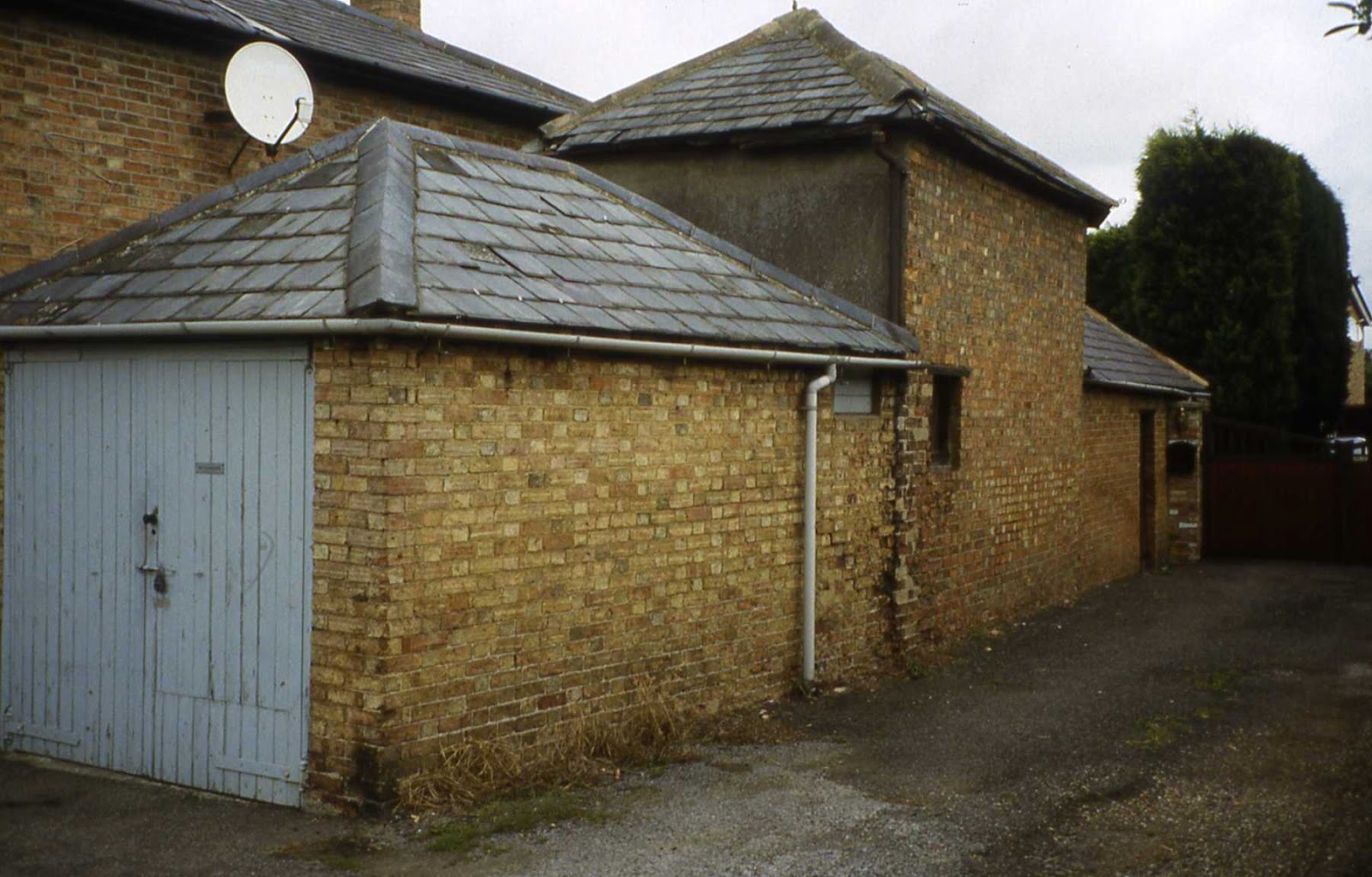
The lock-up at Needingworth, known as The Cage, is situated at 1 Overcote Lane, PE27 4SB opposite the village War Memorial.
It dates to 1838 (datestone) and the single cell has a vaulted roof.
.jpg)
NEEDINGWORTH
OS Grid Reference: TL3426472082
OS Grid Coordinates: 534264, 272082
Latitude/Longitude: 52.3304, -0.0311
OS Grid Coordinates: 534264, 272082
Latitude/Longitude: 52.3304, -0.0311
All photo's by Dave and Amanda Jones with expressed permission
It was Grade 11 listed 16.8.1971 (No.54043) and described as :
Lock-up dated 1838 on stone plaque. Gault brick, cat-slide slate roof. Oak plank
door with original iron grill and hinges.
Listing NGR: TL3426472082
Source: English Heritagedoor with original iron grill and hinges.
Listing NGR: TL3426472082
Listed building text is © Crown Copyright. Reproduced under licence: PSI Click-use licence number C2008002006.


The single cell has a vaulted roof
As ever, I am grateful to Dave & Amanda Jones for allowing me to copy their photographs on Waymark.com.
oooooooooooooooooooooooooooooooooooooooooooooooooooo
There was a lock-up at Orwell but sadly it was demolished in 1979.

ORWELL
1960's photo courtesy of Sue Miller
' The Orwell lockup, known as the Cage, was demolished in 1979 to make room
for an extension to the village hall. It was brick built with a slate roof, but
we don't know precisely when it was built. An Orwell resident born in 1886
remembered "the drunk and disorderly folk" being locked up there until they
could be removed to the nearest police station, but it was probably not used for
that purpose after the First World War. A local cobbler used it as a workshop
during the 1930s and 40s'.
I will try to attach a photo!
Regards,
Sue Miller - for Orwell Past & Present
I am grateful to Sue Miller for sending me this information.
ooooooooooooooooooooooooooooooooooooooooooooooooooooooooooooooo
The lock-up at Parson Drove, known as The Cage, is situated at Murrow Bank, PE13 4JG close to the Swan Inn. It was built in 1816 (datestone) by John Peck to house local criminals and animals. In 1897 the clock and turret were added by public subscription to Commemorate Queen Victoria's Diamond Jubilee. The building was subsequently converted to house the village fire engine
and was used as a police post in WW11.
It was renovated by the Parish Council in the late 1990's and is now used as a visitor centre.
.jpg)
PARSON DROVE
OS Grid Reference: TF3699808405
OS Grid Coordinates: 536998, 308405
Latitude/Longitude: 52.6561, 0.0240
OS Grid Coordinates: 536998, 308405
Latitude/Longitude: 52.6561, 0.0240
Photo by Roy Pledger
It was Grade 11 listed 31.10.1983 (No.48145) and described as :
Formerly a lock-up, inscribed and dated 1816 on stone plaque to north gable end,
with
the roof surmounted by a clock turret to commemorate the diamond jubilee of Queen
Victoria. The lock-up was converted to a fire engine house. Local brick with slate
roof and gable end parapets. The east wall has a blind arcade of three round-headed
arches and in the north gable end double doors for the fire engine entry. The clock
turret is of wood with steeply pitched hipped roof and the clock face has the letters
SIXTY YEARS and V.R. in place of numerals .
Listing NGR: TF3699808405
Source: English Heritagethe roof surmounted by a clock turret to commemorate the diamond jubilee of Queen
Victoria. The lock-up was converted to a fire engine house. Local brick with slate
roof and gable end parapets. The east wall has a blind arcade of three round-headed
arches and in the north gable end double doors for the fire engine entry. The clock
turret is of wood with steeply pitched hipped roof and the clock face has the letters
SIXTY YEARS and V.R. in place of numerals .
Listing NGR: TF3699808405
Listed building text is © Crown Copyright. Reproduced under licence: PSI
Click-use licence number C2008002006.
oooooooooooooooooooooooooooooooooooooooooooooooooooooo
The lock-up at Sawtry is now situated on PRIVATE PROPERTY at the rear of
14 The Green, PE28 5ST, but is easily seen from the road.
PLEASE RESPECT PRIVATE PROPERTY.

SAWTRY
OS Grid Reference: TL1676583813
OS Grid Coordinates: 516765, 283813
Latitude/Longitude: 52.4398, -0.2837
Photo's by Roy Pledger
It was Grade 11 listed 9.3.1973 (No.54690) and described as :
Village Lockup. C19. Local brick with hipped slate roof. Single storey.
Blind walls. Doorway with bead and quirk boarding, studded, with iron grill .
Listing NGR: TL1676583813
Source: English HeritageBlind walls. Doorway with bead and quirk boarding, studded, with iron grill .
Listing NGR: TL1676583813
Listed building text is © Crown Copyright. Reproduced under licence: PSI
Click-use licence number C2008002006.
Easily seen from the road.
ooooooooooooooooooooooooooooooooooooooooooooooooooooo
The complex of pound, lock-up and fire engine house at Swaffham Prior
is situated in Cage Hill, CB25 0JS and dates to about 1830.

SWAFFHAM PRIOR
OS Grid Reference: TL5701864152
OS Grid Coordinates: 557018, 264152
Latitude/Longitude: 52.2531, 0.2989
Photo by Jonathan Dore with expressed permission
I am grateful to Jonathan Dore for allowing me to copy his Flickr photograph.
It was Grade 11 listed 15.6.1984 (No.49369) and described as :
Pound, lock-up and fire engine house, c1830. Lock-up and fire
engine house in single storey gault brick building with a
gabled, slate roof and end parapets on kneelers. The parapet to
the front, above the lock-up, is surmounted by three crosses of
stone. The gable end to the front has two oval shaped windows
with grilles, one to each cell, above the lock-up doorway. The
door is original and has its iron fittings complete. The other
gable end also has similar oval shaped windows but the entry to
the engine house is in the side wall. The door is original but
has fewer iron fittings. The lock-up and fire engine house are
enclosed by the pound wall of brick and clunch with a gate on
the street side. Inside there are two cells each barrel
vaulted. The fire engine house retains the original fire engine
inscribed "Bristow fecit" and "the gift of Mrs Allix...1791".
R.C.H.M. (North East Cambs.), p127, mon (30)
Listing NGR: TL5701864152
Source: English Heritage
Listed building text is © Crown Copyright. Reproduced under licence: PSI Click-use licence number C2008002006.
 |
Photo by Ann Williams with expressed permission
Once again I am grateful to Ann Williams for sending me this photograph.
|
ooooooooooooooooooooooooooooooooooooooooooooooooooooooooo
No comments:
Post a Comment